
-

Nearshore ice conditions and hazards in the Beaufort, Chukchi, and Bering Seas
William J. Stringer, Stephen A. Barrett, and Linda K. Schreurs
-

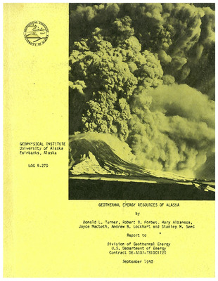
Geothermal energy resources of Alaska
Donald L. Turner, Robert B. Forbes, Mary Albanese, Joyce Macbeth, Andrew B. Lockhart, and Stanley M. Seed
-
 Weller, Sue Ann Bowling, Richard Augulis, Bruce Webster, Takeshi Ohtake, Carl S. Benson, Gerald J. Nibler, Gerd Wendler, Frank Eaton, Ken Rizzo, Glenn E. Shaw, Robert Fischer, and Syun-Ichi Akasofu")
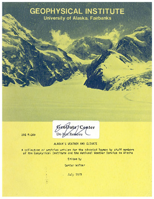
Alaska's weather and climate : a collection of articles written for the educated layman
National Weather Service in Alaska, Gunter (editor) Weller, Sue Ann Bowling, Richard Augulis, Bruce Webster, Takeshi Ohtake, Carl S. Benson, Gerald J. Nibler, Gerd Wendler, Frank Eaton, Ken Rizzo, Glenn E. Shaw, Robert Fischer, and Syun-Ichi Akasofu
Alaska’s weather and climate is as fascinating and varied as Alaska’s magnificent scenery. In this special report for the educated layman, Alaskan meteorologists, climatologists and geophysicists explain some of the atmospheric phenomena over Alaska and their causes and consequences. (Preface excerpt.)
-

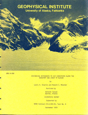
Historical references to ice conditions along the Beaufort Sea coast of Alaska
Lewis H. Shapiro, Ronald C. Metzner, and Kenneth Toovak
The objective of this program was to extend the data base on ice hazards along the Beaufort Sea coast of Alaska backward in time by using the knowledge and understanding of ice and weather conditions of the local residents. Information for this pilot project was obtained through direct interviews with residents, or from narratives supplied by them. The results of these procedures were evaluated to provide a basis for improving similar efforts in future. Observations of particular interest obtained from these interviews and narratives include (1 ) a description of a major motion of the landfast ice off Harrison Bay in late February, (2) a description of the formation of ice push ridges and ride-up at Cape Halkett during break up, (3) reports of whales traveling inshore of Cross Island during the fall migration and of whales being taken by crews from the Prudhoe Bay area at that time of year, and 4) descriptions of conditions in the nearshore area during summer. In addition information of historical and cultural interest was obtained.
-

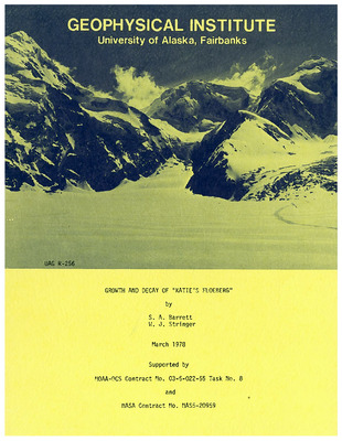
Growth and decay of "Katie's Floeberg"
S. A. Barrett and William J. Stringer
The growth and decay of the grounded ice feature, located at approximately 160°W 72°N, labeled variously as “Katie’s Floeberg”, a “berg field”, and an “island of grounded ice”, has been analysed in relation to the prevailing surface winds and surface temperature measurements taken at nearby Barrow, Alaska. The primary source of data were Landsat I and II imagery obtained between 1973 and 1976. Three major factors were found to influence the growth and decay of the feature: 1) ice uniformity, 2) surface windspeed and directions, and 3) surface temperatures. Of these, the wind appears to be the dominating factor. The typical growth pattern was found to be the formation of a cone-shaped projection of fractured ice pointing into the oncoming ice. The permanence of the new addition was found to be dependent upon wind and temperature conditions. Remains of these growth patterns can be sometimes seen in the interior of the feature on the satellite imagery. The feature was found to undergo decay throughout the summer, starting in June, until early fall when the growth pattern resumes. However, some years it may disappear altogether by fall and be rebuilt over the winter and spring.
-

Non-instrumental errors in ion velocities derived from Chatanika radar measurements during periods of changing ion velocities
Howard F. Bates
F-region ion velocities are obtained in one method with the Chatanika radar by successively sounding at three azimuths. Such measurements typically extend over thirty minutes, so that substantial non-instrumental error can occur when reconstituting a changing ion velocity from the three measurements. Three smoothly changing ion velocity models (similar to the ion velocity observed at Chatanika in the afternoon and evening) are examined and the errors due to the velocity change calculated. Even when only one component is varied, all three orthogonal components show substantial error. Three-point running-averaging is found to eliminate these errors for practical purposes; in the case for which the ion velocity varies linearly, the actual ion velocity is exactly recovered by this method.
-
 Gedney")
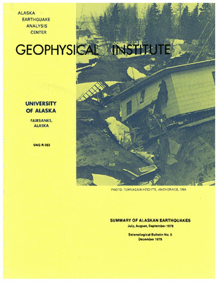
Summary of Alaskan earthquakes, January, February, March 1978
Nirendra Biswas, T. Neil Davis, Juergen Kienle, Hans Pulpan, and Larry (editor) Gedney
-

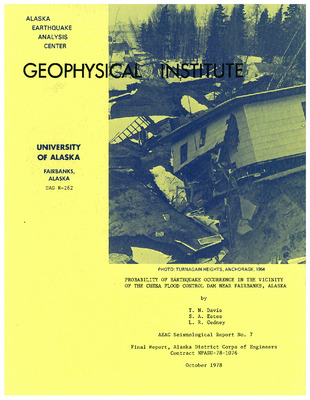
Probability of earthquake occurrence in the vicinity of the Chena Flood Control Dam near Fairbanks, Alaska
T. Neil Davis, S. A. Estes, and L. R. Gedney
-

VLF emission in the region of the polar cusp
Yu. V. Golikov, V. A. Troitskaya, V. V. Pustovalov, Richard R. Heacock, and V. P. Hessler
-

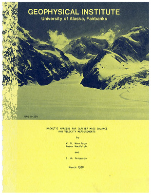
Magnetic markers for glacier mass balance and velocity measurements
W. D. Harrison, Peter MacKeith, and S. A. Ferguson
Magnets have been placed in the firn of a glacier in an area of extremely high accumulation, and relocated a year later by surface magnetometer measurements. Twenty-eight magnets have been relocated at depths up to 10.5 m. The necessary equipment is light and can be purchased off-the-shelf. The depths and horizontal positions of the magnets can be calculated from the magnetic field measurements with sufficient accuracy that the task of digging them out, or drilling to some nearby large buried markers to measure positions directly, can be avoided. The errors are analyzed theoretically, and it is found that under certain restrictions (1) the depth error caused by error in magnetic field measurement varies directly as the fourth power of the depth and inversely as the moment of the magnet, and (2) the depth error caused by error in moment varies directly as the depth and inversely as the moment. Methods for optimizing the measurement procedure are discussed. With the magnetometer and magnets that we have used, depths can be estimated to about 0.5 m at 10 m depth, and about 0.1 m at 5 m depth, or better. Higher accuracy is feasible.
-

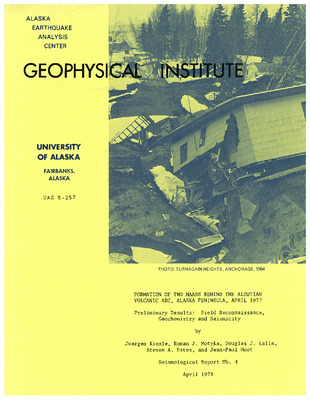
Formation of two maars behind the Aleutian volcanic arc, Alaska peninsula, April 1977 : preliminary results : field reconnaissance, geochemistry and seismicity
Juergen Kienle, Roman J. Motyka, Douglas J. Lalla, Steven A. Estes, and Jean-Paul Huot
-

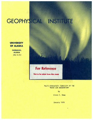
Multi-wavelength turbidity at the Mauna Loa Observatory
Glenn E. Shaw
The Mauna Loa Observatory, Hawaii (3380 m altitude) is more than 3500 km away from nearest continental land and serves as an important benchmark climate observatory. This report describes results of a multi-wavelength study of the optical transmission through the atmosphere above Mauna Loa, its variation with time and its relation to geophysical parameters. The vertical optical thickness (τ = -lnT) from scattering and absorption of light by aerosols at MLO averages 0.020 at wavelength 500 nm, and 0.004 at 1000 nm, but varies from day to day by about ±25%. Air that has come from easterly and northerly directions is slightly more turbid (δτ ≃ 0.01) than air coming from SW directions; the increase in turbidity is probably due to continental aerosols from America reaching the islands. The optical extinction of the continental aerosol varies with wavelength as λ⁻². During clearest conditions, the aerosol optical thickness at 500 nm was only 0.010 to 0.015. Almost all the reported turbidity measurements were made during morning hours during subsidence conditions and are thought to be representative of “background” turbidities in the central Pacific. In the afternoon, the marine trade inversion breaks up and turbidity increases and fluctuates due to contamination aerosol brought to the observatory altitude by anabatic winds and convection. There was a slow decay in day-averaged aerosol extinction from March to June, 1976 that has been identified with dust veil caused from the explosive eruptions of Augustine volcano in the Gulf of Alaska in January-February, 1976; a Dust Veil Index of 4 has been assigned to the Augustine eruption on the basis of the optical measurements made at MLO, this compares with DVI = 1000 for Krakatoa (1883), DVI = 150 for Katmai (1912) and DVI = 800 for Agung (1963). The aerosol extinction spectrum for the Augustine dust veil is approximately given by τ = 0.0125 λ⁻¹ and an inversion, using the method of Box and Lo, indicates that the total mass of material in the stratosphere (March, 1970) was 10¹² g. Some preliminary extraterrestrial solar irradiance measurements were made during this study at twelve 10 nm-wide wavelength regions by using the Langley method to extrapolate through the atmosphere and an NBS primary standard tungsten lamp to refer the measurements of spectral intensity to SI electrical units. A check on the absolute accuracy of the lamp calibration was made (at one wavelength – 615.9 nm) by using a tunable dye laser and electrically-calibrated cavity radiometer at the World Radiation Center at Davos, Switzerland. The determinations of spectral intensity agree to within ±5% of those reported by Labs and Neckels. Error analysis of derived data shows that the extrapolation through the atmosphere introduces less than one-half percent uncertainty into the determinations of solar spectral irradiance. The solar spectral irradiance from March to August, 1976 remained constant to better than 0.3 percent at yellow to red wavelengths but there were indications that the sun may have brightened slightly over 5 months time by about 0.4 to 0.8%, at blue (400 nm) wavelengths. Atmospheric ozone and water vapor amounts were obtained at MLO by measuring optical absorption in the Chappuis band and in the ρ σ τ water band. Ozone amounts derived from Chappuis-band absorption were 23% lower than those derived with a Dobson spectrophotometer but correlated to within ±4% of the Dobson values. Column water vapor increased through the day; the morning values ranged from 0.5 to about 2.5 g cm⁻², although these values are somewhat uncertain because of poor information available on spectroscopic line parameters in the near infrared region. Evidence was found for a weak water vapor continuum between the ρ σ τ and φ bands with an absorption coefficient ≃ 0.08 g⁻¹ cm². Results of this study show that precision multi-wavelength spectrophotometry can be used to quantify and monitor important geophysical parameters that have bearing on climate.
-

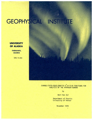
Charge-state-equilibrated H+/H flux fractions for analysis of the hydrogen aurora
Bert Van Zyl
An analysis of the hydrogen aurora begins with a determination of the charge-state-equilibrium fractions of the proton/hydrogen atom flux traversing the atmosphere. Charge-exchange and ionization-stripping cross sections are compiled. Where no data exist, estimates of the required cross sections are made. Charge-state-equilibrium flux fractions are computed for N2, O2, and O targets. Net atmospheric charge-state-equilibrium flux fractions are then calculated as a function of altitude using the appropriate atmospheric constituent density ratios for these species.
-

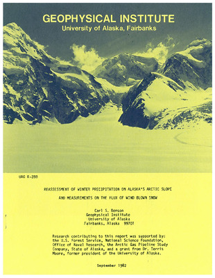
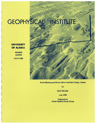
Snow blowing and snow fall on the North Slope, Alaska
Gerd Wendler
Blowing snow is a fairly common phenomenon on the North Slope of Alaska. Monthly mean values for blowing snow for a 10 year period are as high as 20% and 25% for Barrow and Barter Island, respectively. The higher values at Barter Island are the result of the somewhat higher windspeeds which occur there. At Barrow ENE or WNW winds are most frequently associated with blowing snow, while at Barter Island there is a main maximum with W winds and a secondary maximum with E winds. Barter Island receives more snow than Barrow. At Barrow, snowfall occurs most frequently with easterly winds; in contrast, at Barter Island most falling snow is observed with westerly winds and there is only a secondary maximum for winds from the east. Finally, an empirical formula was developed which gives the frequency of blowing snow from the wind velocity and the amount of snowfall on a monthly basis for the North Slope of Alaska.
-

Synthetic spectra for auroral studies. I. The N₂+ first negative system
Vladimir Degen
Synthetic spectra of the N₂+ first negative system are given for general reference in auroral studies. The material presented illustrates the appearance of the major band sequences (Δv = 0, -1, -2, -3 and +1) at various N₂ x ground state rotational and vibrational temperatures ranging from 200 to 5000°K, and the appearance of the major bands (3914 A, 4278 A, 4709 A) at various resolutions ranging from ~.3A, when the R-branch is completely resolved, to smooth band profiles. Also shown are sample band profiles generated in an auroral arc with a model atmospheric temperature and volume emission rate. An appendix contains tables of the calculated band intensities and the line wavelengths and intensities for selected bands.
-

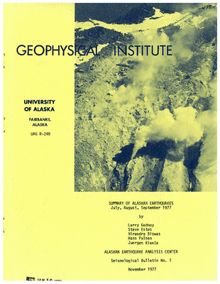
Summary of Alaskan earthquakes, July, August, September 1977
L. R. Gedney, Steve Estes, Nirendra Biswas, Hans Pulpan, and Juergen Kienle
-

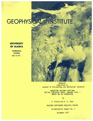
Augustine Volcano eruption : initial explosive phase, January 1976 : impact on the atmosphere
Juergen Kienle and Glenn E. Shaw
Augustine Volcano in Lower Cook Inlet, southern Alaska, erupted after 12 years of dormancy in January, 1976. By April, when the eruption ended, a minimum of 0.5 km³ of ejecta had been deposited as pyroclastic flows, ash falls and lava, which formed a new summit dome. The mass of the eruption was about 7.6 x 10¹⁴ g, and the corresponding thermal energy released about 3.8 x 10²⁴ ergs. In this paper we compiled all available observational data for the highly explosive vent-clearing phase of the eruption in order to estimate its effect on the atmosphere. We discuss radar and visual observations – aerial, ground and satellite photography – regional ash fall and damage to aircraft – and infrasonic and seismic data. The eruptive plumes stayed intact for long distances and could be easily traced for 700 km downwind. The plumes consisted of three parts: (1) a homogenous layer of ash and some condensed (frozen) water at 3 to 4 km altitude, giving rise to extensive regional ash falls; (2) puffs of ash, travelling at heights of 6 to 8 km to great distances (Arizona and Virginia); and (3) stratospheric dust, which eventually appeared over the tropics and was detected with a pyroheliometer up to 5 months after the eruption at Mauna Loa, Hawaii. Injection of material into the stratosphere was probably through occasional high speed gas jets. From visual ranges reported by airplanes inside the eruption clouds we calculated a minimum mass loading of 0.3 g m⁻³. The mass of suspended material in the troposphere, 7.5 x 10¹³ g, represents 10% of the total mass erupted in the 1976 eruptive cycle. An additional 0.4% of the total erupted mass ended up in the stratosphere. We speculate that over the past 10,000 years Augustine’s particulate mass input was 225 megatons/century into the troposphere and 9 megatons/century into the stratosphere. The mean global injection rate of volcanic dust into the troposphere and stratosphere is estimated to be one order of magnitude higher than previously assumed.
-

Carbon monoxide emissions from moving vehicles in Fairbanks, Alaska : vol. 3 report
L. E. Leonard
This report is the third and final volume in a series constituting the final report on a research project which has investigated carbon monoxide (CO) emissions from motor vehicle in Fairbanks, Alaska. This volume (Vol. 3) presents the findings of that part of the study dealing with vehicles operating in the moving mode. Two investigations were performed: 1. Driving cycles were developed which are representative of actual driving conditions in the urban area of Fairbanks. Development of two cycles was necessary to demonstrate the effect of traffic control strategies implemented during the summer of 1975. Therefore, the cycles presented here describe traffic conditions both before and after implementation of the new controls, with accompanying qualitative discussion of the effect on CO emissions. In an effort to retain consistency and ease comparison, the cycles developed here were modeled after the CVS-3 cycle used in the Federal Test Procedure. 2. CO emissions from in-use vehicles operating in the moving mode were measured in order to provide quantitative modal emission data for use in conjunction with the driving cycles. Quantitative emissions data for the steady-state mode of operation are presented; however, limitation in the response time of the CO analyzer used in testing precluded acquisition of reliable data for the transient (Acceleration and Deceleration) mode of operation.
-

Calibration and field use of Hg-in-glass thermometers for precise temperature measurements near 0 ̊C
Thomas E. Osterkamp
Experience with the calibration and field use of Hg-in-glass calorimeter thermometers provides an indication of the accuracy attainable and the necessary corrections to obtain that accuracy. Secular changes as large as 57 m°C have been observed during the first 3 years of thermometer use. Light physical tapping is found to reduce the thermometer readings by 3-6 m°C. Corrections for variations in the external and internal bulb pressure and care to avoid parallax are necessary to obtain the best accuracy in field measurements. The estimated accuracy of these thermometers for temperature measurements near 0°C is approximately ±4 m°C for laboratory measurements and, at best ±5 m°C for field measurements.
-

A coupled heat and salt transport model for sub-sea permafrost
W. D. Harrison and T. E. Osterkamp
The sub-sea permafrost regime off much of Alaska’s arctic coast can be understood by considering the response of land-formed permafrost to changing temperature and salinity conditions associated with shoreline recession. Sea-bed temperatures seem to be negative in much of the Beaufort Sea, but inundated permafrost will still thaw downward from the sea bed if the sea water is above its freezing temperature. The process cannot be understood within the framework of conventional heat transport models because of the key role played by salt. This is illustrated by a simple coupled heat and salt transport model, solved in closed form, in which heat and mass are transported by diffusion. The solution is a generalization of the Stefan solution for growth of an ice cover. It illustrates how the thawing rate depends almost entirely on salt transport properties at a sea-bed temperature of -1°C, on thermal properties at +1°C, and on both at intermediate temperatures. The calculated thawing rates are so slow in this diffusion model that the significance of pore liquid motion is suggested.
-

Subsea permafrost at Prudhoe Bay, Alaska : drilling report and data analysis
Thomas E. Osterkamp and W. D. Harrison
-

Non-resonant scattered sunlight at twilight in Alaska
Glenn E. Shaw
The color and intensity of non-resonantly scattered sunlight in the sky at twilight is sensitive to the presence of upper atmospheric dust, or haze layers. Multi-spectral photometric measurements of the twilight sky at 20° elevation angle, made in central Alaska, indicate that a stratospheric dust layer formed by the eruption of Mt. Fuego in Guatemala (eruption date, October 1974) reached Alaska in late January 1975. Optical effects from the Fuego dust veil maximized in mid-February, then subsided slowly with a time constant of roughly one year. It is estimated that the Fuego dust layer, as observed in Alaska, was located in the lower sub-arctic stratosphere at a median elevation of 8 to 12 km and had a maximum optical thickness of about 0.015 in the red (700 nm), a columnar mass load of 4 ± 1 mg m-2 (assuming density of 1.6 g cm-3) and a vertical columnar number density of 107 particles cm-2. Analysis of the twilight radiance records (made continuously down to solar depression angles of 15°) was carried out with a theory of first order scattering with corrections introduced to account for multiple scattering. It was found that the twilight probing method is capable of yielding a somewhat smoothed vertical profile of dust layers having optical thicknesses larger than about 0.001 and located between about 5 to 60 km elevation. The inference of possible optically thin haze layers near the mesopause, which may be involved in the formation of noctilucent clouds, is complicated by resonant scattering processes and direct emission in the airglow, and sometimes by auroral emissions. The study suggests that the occurrence of periods with high volcanic activity may be capable of causing global climatic changes since the volcanic dust veils exist for relatively long periods (one to two years), reach all latitudes, and have sufficient optical depth to radiatively interact and cause climatically significant changes in the earth-atmosphere radiation budget. Calculations indicate a new global cooling caused by these volcanic dust veils originated in the stratosphere that, in the case of Fuego, could possibly reach ΔT = 0.2°C.
-

Some remarks on the unusual Beaufort Sea ice conditions in summer 1975
Gerd Wendler and Kolf Jayaweera
In the summer of 1975 the sea ice conditions between Point Barrow and Prudhoe Bay were the severest since 1898 when the ice did not move away from shore at all. In 1975 the movement started later than in any year since that time and was incomplete. From the meteorological point of view this event is very interesting and also had great economic ramifications because the need to resupply the Prudhoe Bay oil fields by barges could not be carried out as planned. These unusual ice conditions were caused by: a) a thicker than normal ice cover for the winter of 1974-75 owing to a cold and snow-deficient winter, b) a cooler than normal summer 1975 which not only slowed down the rate of ice decay but also shortened the period in which melting occurred, and c) the unusual wind conditions in summer 1975 which were caused by a persistent low pressure system over the high Canadian Arctic for July, August, and September, adding a northwesterly wind component to the average wind which kept the ice near to shore. This last reason is believed to be the most important.
-
 Hook")
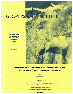
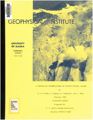
A geophysical reconnaissance of Pilgrim Springs, Alaska
Robert B. Forbes, L. Gedney, D. VanWormer, and J. (Jerry) Hook
A geophysical survey of Pilgrim Springs, Alaska, including seismic refraction, geomagnetic, microseismic background and water temperature studies indicates that the springs deserve further exploration as a potential geothermal resource. Seismic profiling indicates possible Tertiary reservoir rocks or hydrothermally cemented cap rock at a depth of 205 ft. Subsurface probes detected water temperatures up to 80°C, and local temperature inversions caused by the mixing of spring and groundwater and convective circulation in coarse, permeable sands. Less diluted spring water, when sampled at depth, will probably be more saline and siliceous than that previously sampled at the surface; and estimated reservoir temperatures, based on geothermometry, will probably be increased. A modest exploration program, involving additional geophysical and geochemical studies and the drilling of a test hole, is recommended.
Printing is not supported at the primary Gallery Thumbnail page. Please first navigate to a specific Image before printing.
